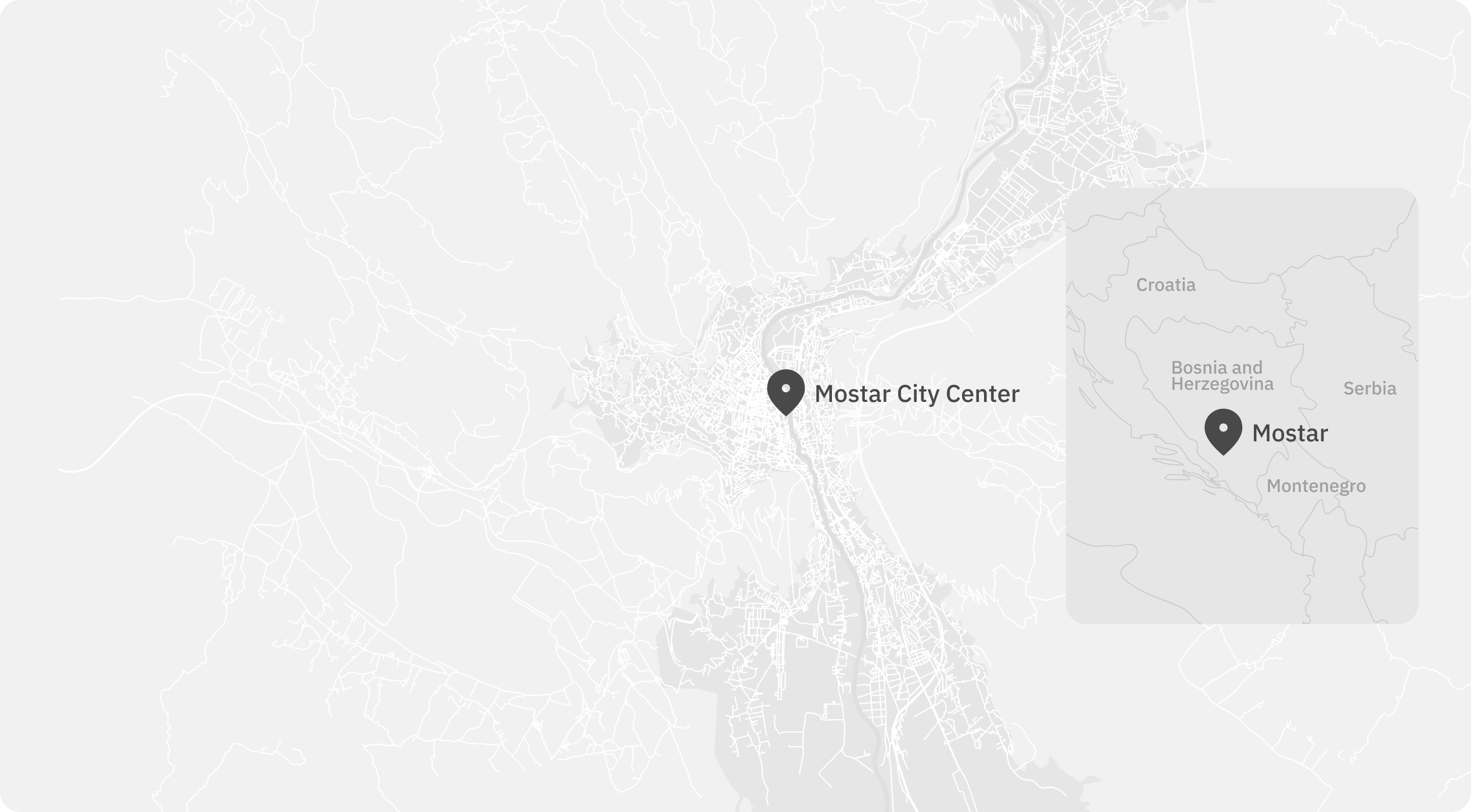
The city of Mostar, located in present-day Bosnia and Herzegovina, became one of the fiercest battlegrounds during the Yugoslav Wars between 1992 and 1995. Intense fighting divided the city along ethnic lines, leaving deep physical and psychological scars that still shape community life today.
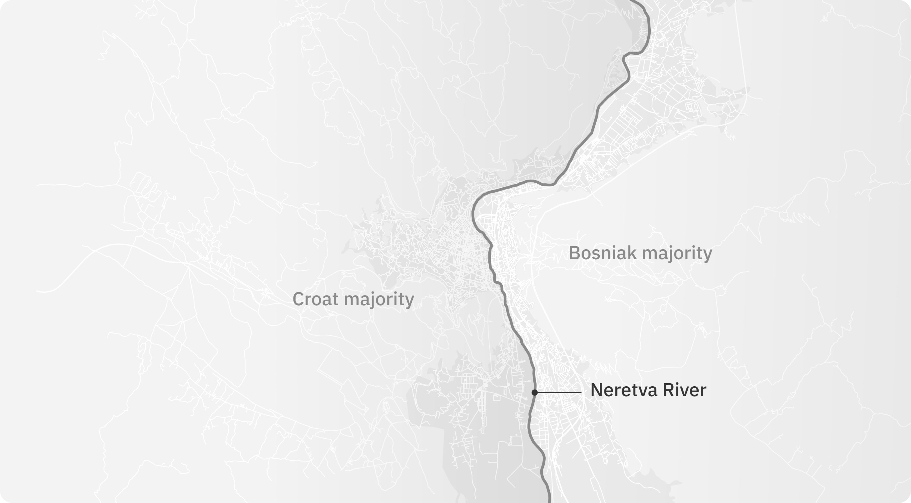
After the war, the Neretva River became the city’s unofficial ethnic boundary. Among Muslim Bosniaks, Catholic Croats, and the small Orthodox Serb minority, divisions remain tangible today. The city is still largely divided along ethnic lines, with separate neighborhoods and parallel school systems. These invisible borders continue to shape daily life, reflecting the enduring legacy of the war. Today however, many residents resist the notion of Mostar as a “divided city.”
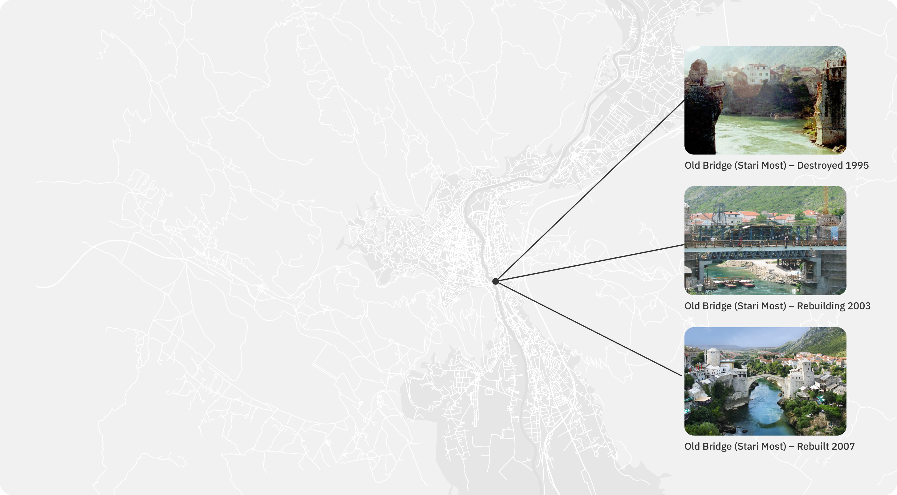
After the war, symbolic reconstruction projects such as the Old Bridge (Stari Most) were extensively funded by the European Union. The bridge, once destroyed during the conflict, became a global emblem of reconciliation and renewal.
But beyond these symbols — what does genuine peace look like for the people of Mostar?
The Everyday Peace Indicators (EPI) research explores how people themselves understand peace, not through political agreements or external measures, but through the small signs of everyday life.
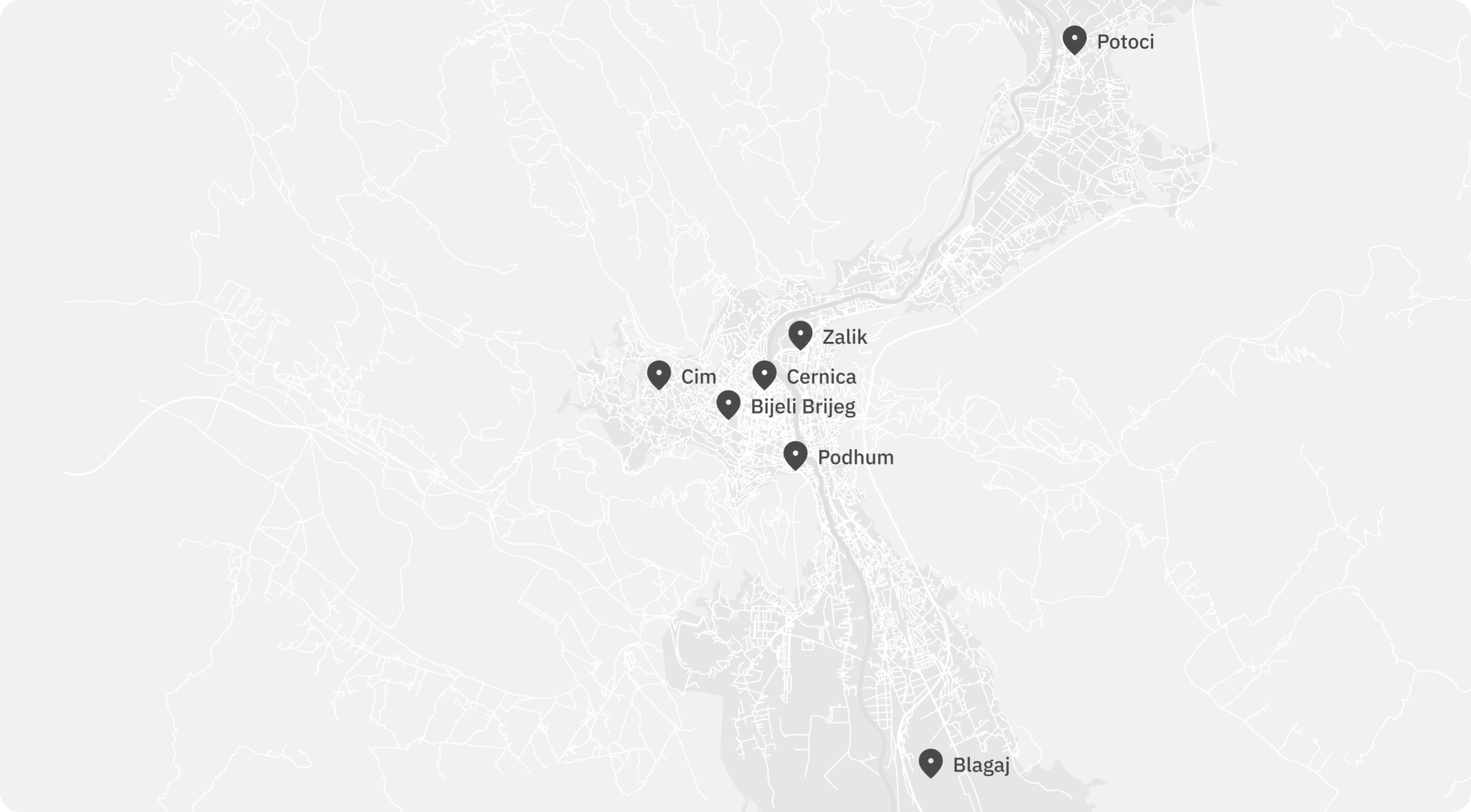
In collaboration with seven communities in Mostar, deliberately chosen to reflect diversity in ethnicity, religion, and location, the project gathered local perspectives on peace. Community members generated statements describing what peace looks like for them, followed by a collective voting process to determine which of these expressions were considered most important.